MODIS Atmosphere
MODIS Atmosphere Home Products  Images  Validation  News  Staff  Forum  Reference  Tools  Help
Aerosol Product  Water Vapor Product  Cloud Product  Atmosphere Profile Product  Cloud Mask Product   Joint Atmosphere ProductLevel-2 Products
Daily Global Product  Eight-Day Global Product  Monthly Global ProductLevel-3 Products       Filled Land Surface Albedo ProductFilled Normalized Difference Vegetative Index ProductOne-Minute Land Ecosystem Classification ProductLevel-3 Ancillary Land Surface Products
One-Minute Land Ecosystem Classification Product
Introduction
Format & Content
Grids & Mapping
Viewing Browse Imagery
Downloading HDF Datafiles
Analysis Tools
Theoretical Basis
Detailed File Spec
Support Team

Browse Imagery

IGBP Land Ecosystem Classification Map Image

Click for larger Ecosystem Image
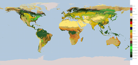
 Land Ecosystem Classification October 15, 2000

Larger, more detailed versions:

JPEG Image (5348 x 2520) [288 dpi, 4.7 MB]

JPG Image (11460 x 5400) [100 dpi, 8.7 MB]


Next Page
ACQUIRING DATA