Creating Browse Images from Level-3 HDF Data
Program Name:
Make_PNG
Program Description:
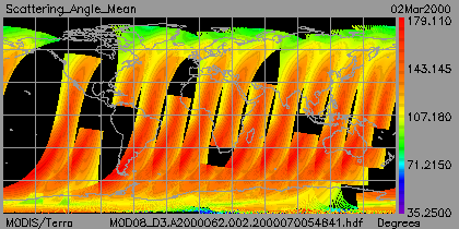
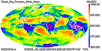
This IDL tool creates a set of browse images from a level-3 HDF file. This script is tuned to
run on MODIS-Atmosphere Level-3 HDF files where the output maps are stored on a 1x1 degree global lat-lon
grid (360x180 pixels). In addition, the set of Scientific Data Sets to be visualized must
be explicitly listed in the script. The script will use the min and max of the
data specified after each SDS listed, and create a color scale and color bar that spans these values.
In addition the Fill Value is read from
the local attributes and all fill data is colored black. Continental
Boundaries (colored white) are overlaid on all images. Output images are written in PNG format
(modified from GIF format, which is no longer supported by IDL)
and the file names match that of the Scientific Data Set (SDS) from which it was derived.
Language and Environment Requirements:
IDL.
Limitations:
The Level-3 HDF file to be visualized must be visible to the program.
That is, the HDF file must be accessible from the platform where
the program is running.
Installation Tips:
Simply run the script make_gif from a command line prompt.
You must have your display environment variable
set to a valid graphics device.
Developer:
Paul Hubanks, Bill Ridgway, Jason Li (NASA GSFC).
Current Version (Release Date):
Version 2.0 (March 2002).
Download:
Generic L3 HDF File Reader (required routine!)
Daily L3 Image Creation Script
EightDay and/or Monthly L3 Image Creation Script
|