 |


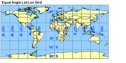
Equal Angle Grid
The MODIS Atmosphere Daily Global Product is stored on an equal angle lat-lon grid.
The grid cells are 1 degree by 1 degree, which means the output
grid is always 360 pixels in width and 180 pixels in height.

The major implication of this relative low grid resolution
is these product maps are not good candidates for printing,
however they are fine for viewing on video monitors as well as
for model input.
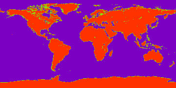
A Land/Ocean Mask for L3 products is provided below. The PNG image is 360 pixels
in width and 180 pixels in height. Each image pixel corresponds to one L3 1x1 degree grid cell.
Values of 200 represent land grid cells, values of 100 represent mixed grid cells, and
values of 0 represent ocean grid cells. This image can be use with analysis programs,
such as those written in IDL, to screen L3 results for ocean or land only.

|